Free vectors
Free Photos
Free fonts
Free Footages
Web templates
Free Icons
Free brushes
Free styles
Free patterns
Free PSD
Search Photos
Request a design
Upload
Login with Google
Home
Photos
aerial map
Aerial map photos
Free download aerial map photos 399 files in .jpg format sort by popular first page 3, world map hd, 3d map, world map photos, creative map, paper map, maps hd, map highdefinition
Sort by:
Default
Trending now
Newest
Recommend
Relevant
Popular
Unpopular
world map hd
3d map
world map photos
creative map
paper map
maps hd
map highdefinition
highdefinition world map
world map background definition
map the world
3d map world
world map old
nautical map
line map
stock photo map
world map photo
navigation map compass hd
map background
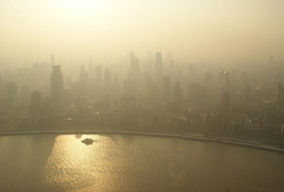
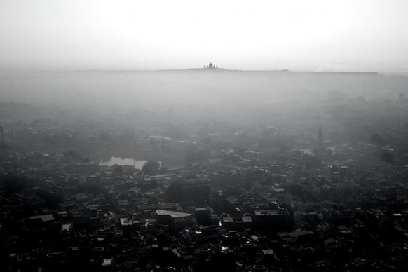
aerial building city down fog mist river shore
aerial beach coast desert disaster down lake
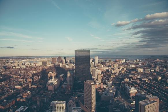
aerial architecture building center central park city
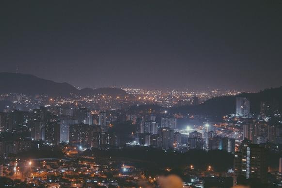
aerial architecture city cityscape down downtown fog
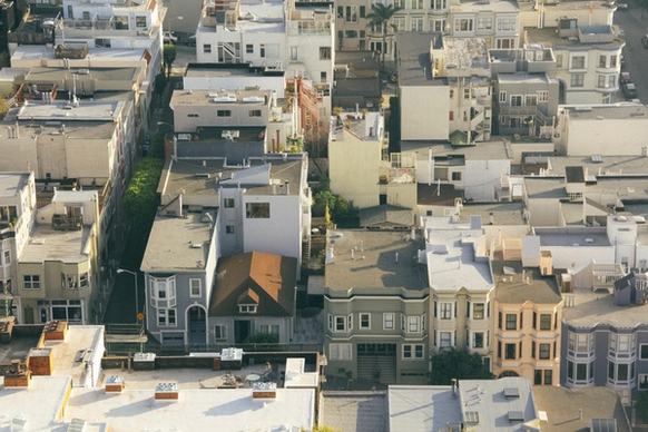
aerial apartment architecture building city cityscape
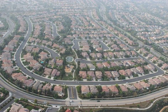
aerial view of houses 038 streets in suburbs
aerial apartment architecture building city down
aerial architecture building city cityscape down
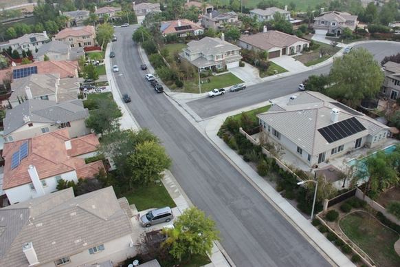
aerial view of curved street through neighborhood
aerial aeroplane air airplane architecture black and
aerial architecture bridge building church down
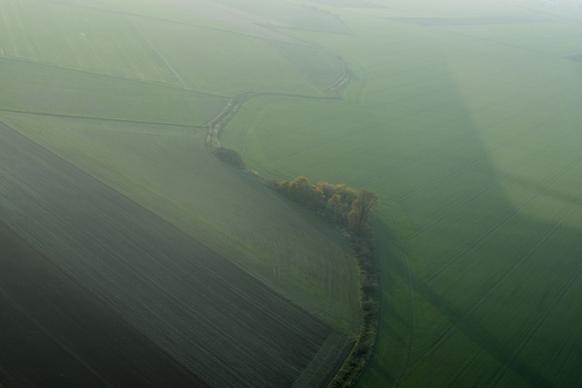
aerial agriculture disaster down farm field fog
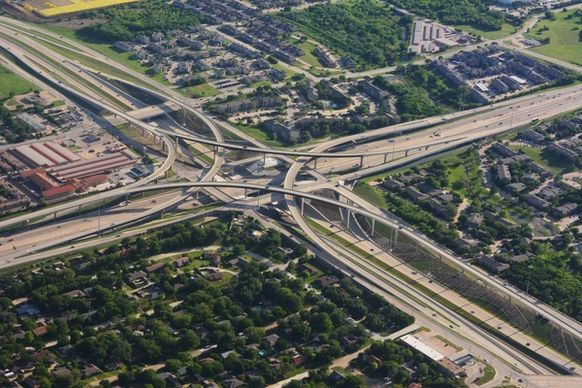
aerial air down energy freeway highway
acropolis aerial architecture city cityscape down
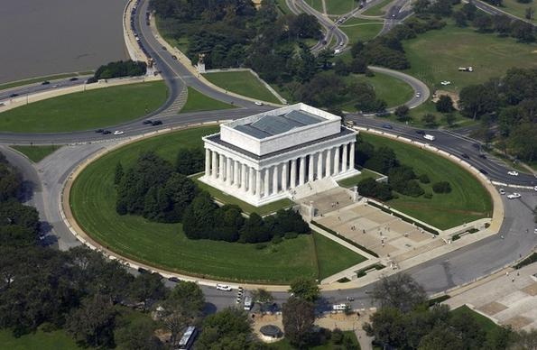
aerial building city dome down government line park
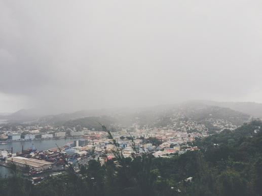
aerial cloud down evening fog forest haze hill
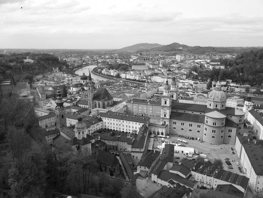
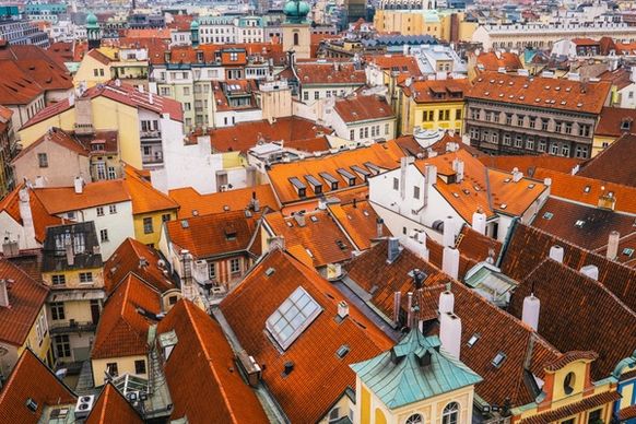
aerial architecture center city down european
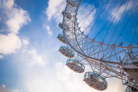
aerial amusement architecture big city cloud
aerial architecture bridge center church city down
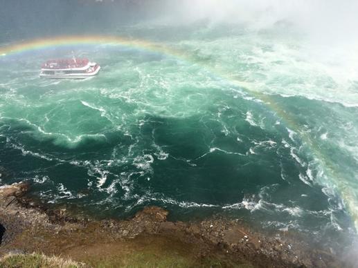
aerial beach coast coastline down island lake
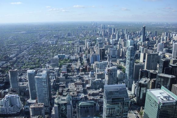
aerial architecture building city cityscape down
aerial architecture building center central park city
aerial
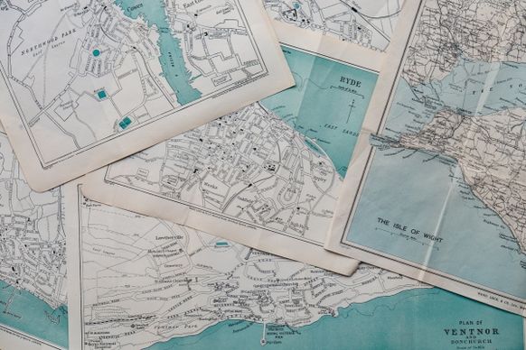
vintage maps
europe map with euros
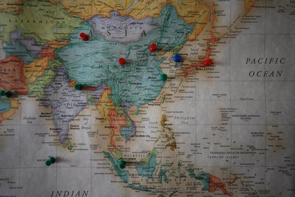
travel map asia
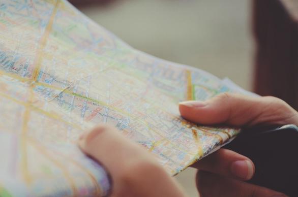
city close up finger hand map paper reading tourism
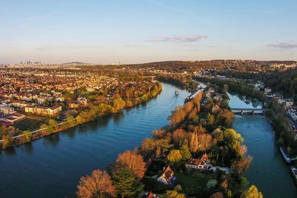
ile de la loge bougival aerial view
books expand the map
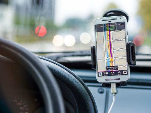
google maps navigation technology
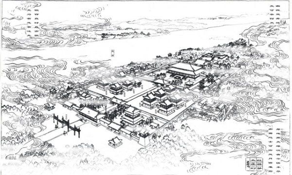
dream of red mansions fantasyland imaginary map
any photographic lines of light map
brush handwriting jpg map
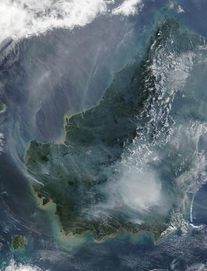
borneo forest fire satellite image
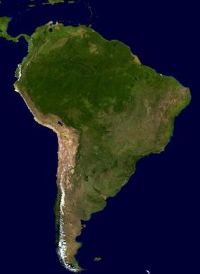
south america continent land
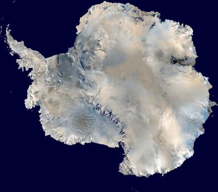
antarctica south pole continent
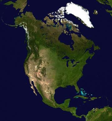
north america continent america
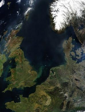
england ireland northern europe
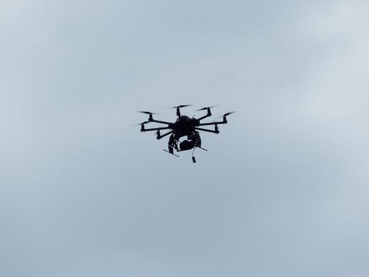
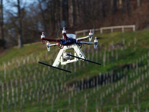
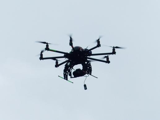
hexacopter helicopter model
hexacopter helicopter model
hexacopter helicopter model
hexacopter helicopter model
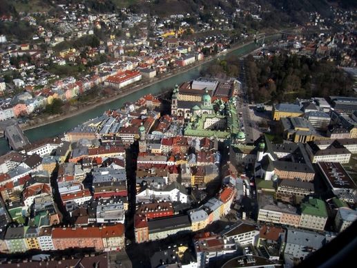
innsbruck austria europe
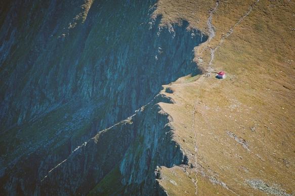
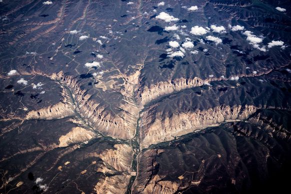
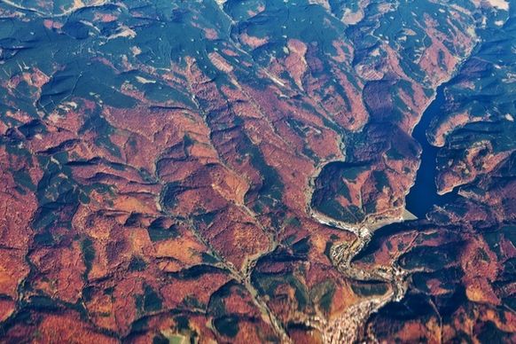
mountains from above
cathedral tower at sunset
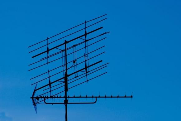
tv antenna
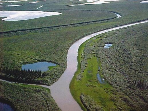
arctic tundra near tuk
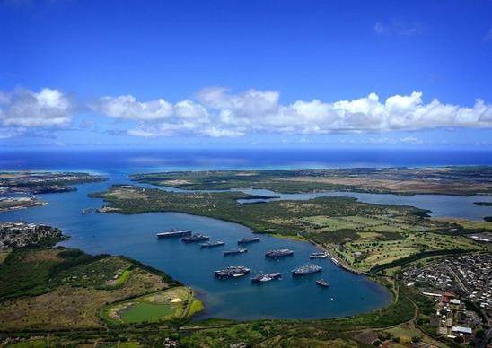
hawaii sky clouds
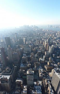
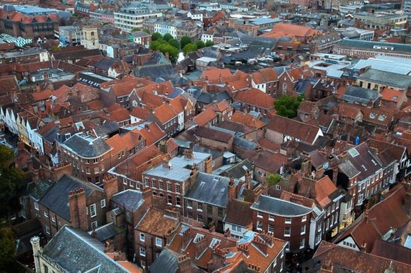
york city view
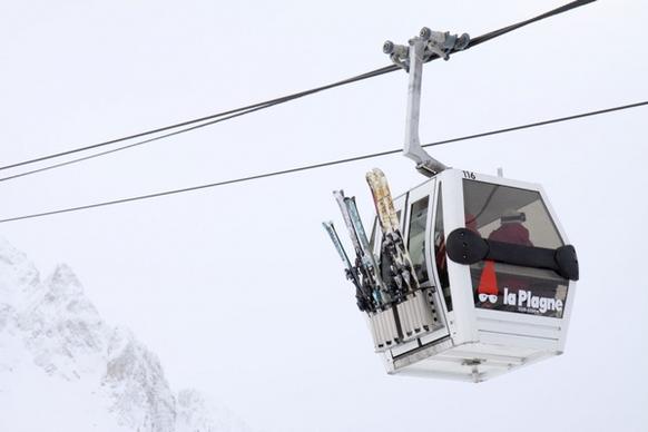
cable car
mansion in autumn
balloon for tourists
satellite dish
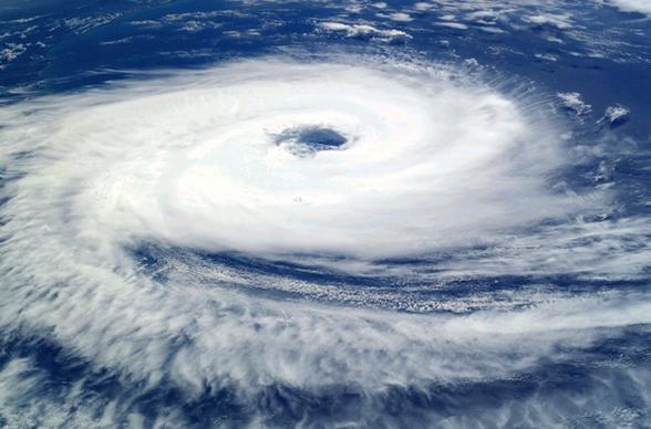
cyclone catarina hurricane
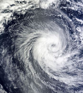
winter storm hurricane cyclone
washington dc lincoln memorial landmark
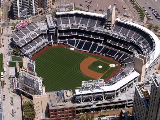
petco ball park san diego california
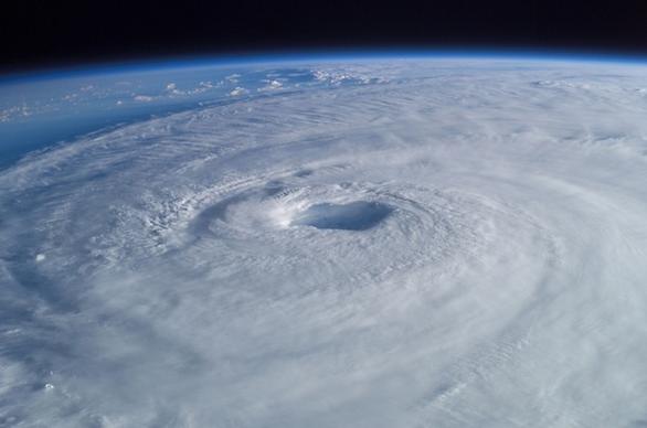
tropical cyclone hurricane isabel
dark blue sky with clouds
architecture autumn beautiful
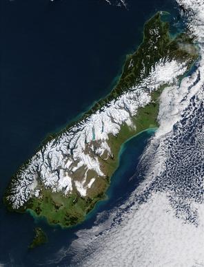
new zealand south island satellite photo
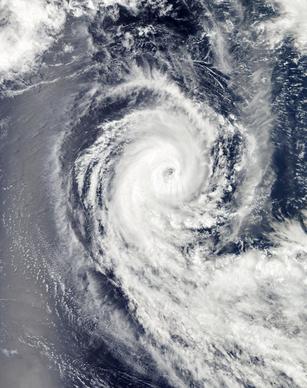
hurricane benilde winter storm clouds
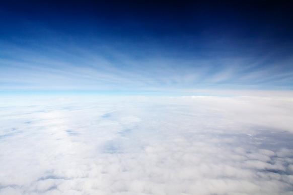
between clouds
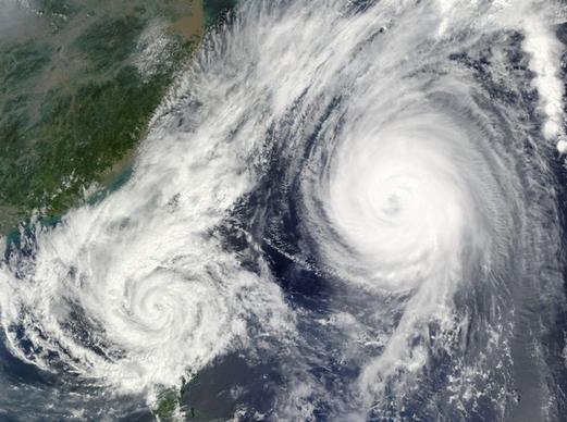
hurricane tropical cyclone typhoon
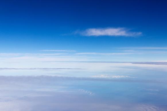
clouds from a plane
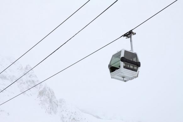
gondola lift
us navy blue angels demonstration
alaska denali river
Loading more items please wait...
Loading more items please wait...
Previous
1
2
3
4
5
Next
Advanced search
Search term:
Search type:
Match any
Match all
Search in:
Vectors
Icons
Photos
Fonts
Website templates
PSD
Licence:
All licence
Allow commercial use
Sort result:
Best match first
Newest first
Much download first
Less download first
Search
Home
Licences
Term
Privacy
About
Contact
Popular tags
aerial
sky
city
down
architecture
urban
travel
aerial view
building
view
landscape
nobody
high
clouds
water
nature
cityscape
air
satellite photo
river
skyline
home
panorama
map
skyscraper
downtown
Buy a commercial licence
Buy a cup of coffee for our design team
Get 15% off at Shutterstock! Use code: 15AFD at checkout! (Valid until 1/31/24)
Top
Get 15% off at
! Use code: 15AFD at checkout!